
Polesí topographic map
Interactive map
Click on the map to display elevation.
About this map
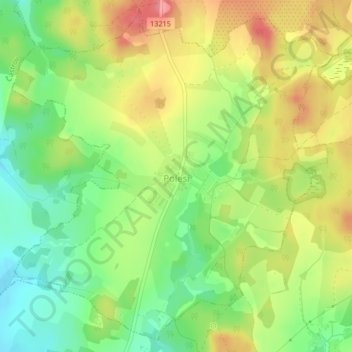
Name: Polesí topographic map, elevation, terrain.
Location: Polesí, okres Pelhřimov, Kraj Vysočina, Southeast, Czechia (49.28071 15.22710 49.30579 15.26489)
Average elevation: 666 m
Minimum elevation: 623 m
Maximum elevation: 713 m