
Thank you for supporting this site ❤️
Make a donation
Make a donation
Traunstein topographic map
Click on the map to display elevation.
Thank you for supporting this site ❤️
Make a donation
Make a donation
About this map
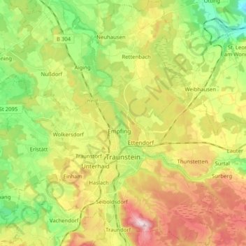
Name: Traunstein topographic map, elevation, terrain.
Location: Traunstein, Landkreis Traunstein, Bavaria, 83278, Germany (47.83208 12.57859 47.93710 12.70266)
Average elevation: 601 m
Minimum elevation: 468 m
Maximum elevation: 774 m
Thank you for supporting this site ❤️
Make a donation
Make a donation