
Таш-Булак topographic map
Interactive map
Click on the map to display elevation.
About this map
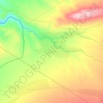
Name: Таш-Булак topographic map, elevation, terrain.
Location: Таш-Булак, Osh Region, Kyrgyzstan (40.22000 72.21888 40.26000 72.25888)
Average elevation: 1,252 m
Minimum elevation: 1,124 m
Maximum elevation: 1,359 m