
Thank you for supporting this site ❤️
Make a donation
Make a donation
Boncelles topographic map
Click on the map to display elevation.
Thank you for supporting this site ❤️
Make a donation
Make a donation
About this map
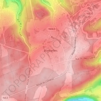
Name: Boncelles topographic map, elevation, terrain.
Location: Boncelles, Seraing, Liège, Wallonia, 4100, Belgium (50.55028 5.51785 50.59028 5.55785)
Average elevation: 234 m
Minimum elevation: 79 m
Maximum elevation: 275 m
Thank you for supporting this site ❤️
Make a donation
Make a donation