
Çerçi topographic map
Interactive map
Click on the map to display elevation.
About this map
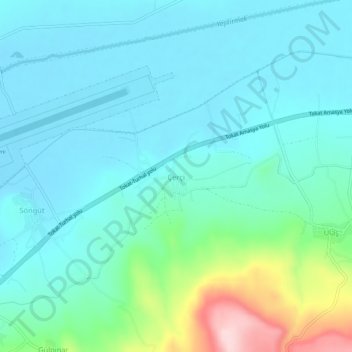
Name: Çerçi topographic map, elevation, terrain.
Location: Çerçi, Tokat Merkez, Tokat, Black Sea Region, Turkey (40.29936 36.39222 40.33936 36.43222)
Average elevation: 616 m
Minimum elevation: 564 m
Maximum elevation: 833 m