
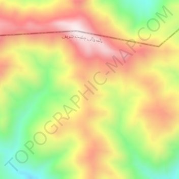
Silsilah-ye Safēd Kōh topographic map
Interactive map
Click on the map to display elevation.
About this map
Name: Silsilah-ye Safēd Kōh topographic map, elevation, terrain.
Location: Silsilah-ye Safēd Kōh, Chishti Sharif, Herat, Afghanistan (34.50668 63.80584 34.50678 63.80594)
Average elevation: 2,988 m
Minimum elevation: 2,677 m
Maximum elevation: 3,261 m