
Örtülü topographic map
Interactive map
Click on the map to display elevation.
About this map
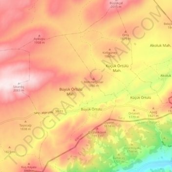
Name: Örtülü topographic map, elevation, terrain.
Location: Örtülü, Sarız, Kayseri, Central Anatolia Region, Turkey (38.49875 36.66464 38.57397 36.75409)
Average elevation: 1,810 m
Minimum elevation: 1,399 m
Maximum elevation: 2,086 m