
Thank you for supporting this site ❤️
Make a donation
Make a donation
San Carlos topographic map
Click on the map to display elevation.
Thank you for supporting this site ❤️
Make a donation
Make a donation
About this map
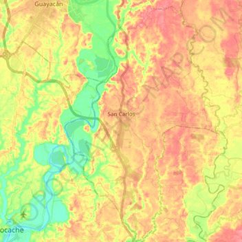
Name: San Carlos topographic map, elevation, terrain.
Location: San Carlos, Quevedo, Los Ríos, 120553, Ecuador (-1.19462 -79.47044 -1.04557 -79.37372)
Average elevation: 67 m
Minimum elevation: 26 m
Maximum elevation: 98 m
Thank you for supporting this site ❤️
Make a donation
Make a donation