
Taşdelen topographic map
Interactive map
Click on the map to display elevation.
About this map
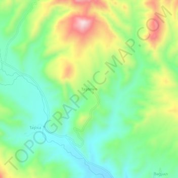
Name: Taşdelen topographic map, elevation, terrain.
Location: Taşdelen, İmranlı, Sivas, Central Anatolia Region, Turkey (39.69333 38.27057 39.73333 38.31057)
Average elevation: 1,439 m
Minimum elevation: 1,292 m
Maximum elevation: 1,707 m