
Björkhöjden topographic map
Interactive map
Click on the map to display elevation.
About this map
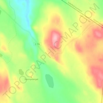
Name: Björkhöjden topographic map, elevation, terrain.
Location: Björkhöjden, Ragunda kommun, Jämtland County, Sweden (63.39344 16.07031 63.43344 16.11031)
Average elevation: 479 m
Minimum elevation: 412 m
Maximum elevation: 557 m