
Thank you for supporting this site ❤️
Make a donation
Make a donation
Thetford topographic map
Click on the map to display elevation.
Thank you for supporting this site ❤️
Make a donation
Make a donation
About this map
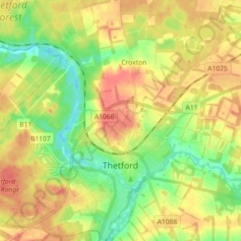
Name: Thetford topographic map, elevation, terrain.
Location: Thetford, Breckland District, Norfolk, England, United Kingdom (52.39221 0.66851 52.46657 0.77750)
Average elevation: 32 m
Minimum elevation: 5 m
Maximum elevation: 57 m
Thank you for supporting this site ❤️
Make a donation
Make a donation